
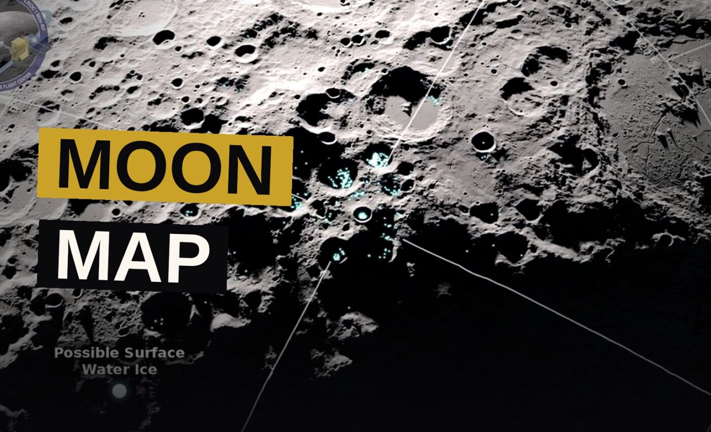
IBM and NASA have created an AI model that can work through decades of lunar data and produce maps of the moon’s surface with greater detail than anything produced before. The Lunar Foundation Model (LFM) is designed to take data from many different spacecraft sensors and combine it into one unified image of the moon. The team published their results Sept. 10, in a technical paper given to Live Science.
Scientists can access the tool through the AI repository Hugging Face, where it is open-source and free to use. Researchers are thus able to fine-tune it for particular purposes, including mapping safe touchdown spots and searching for buried ice.
The data bottleneck
For decades, robotic missions to the moon have produced a vast, disconnected pile of data. The spacecraft that gathered it used a mixed set of instruments: high-resolution optical cameras, laser altimeters, radar reflectance devices, and spectrometers that measure elemental density. Merging these readings into a single, useful image has required large amounts of work and heavy computing power.
For years, these kinds of datasets have relied on modest transformer models like SwinV2-B, which came into being 2022 as a broad model meant to grasp images and sharpen accuracy on photo recognition and related vision tasks. It was never constructed with the moon’s particular traits in mind.
Researchers aimed to create one lasting backbone AI model capable of handling all kinds of lunar observations. Since LFM is made freely available, scientists can tailor it for particular questions as part of their own work.
Why the moon is hard to map
Observing the Moon through data gathered by orbiters such as NASA’s Lunar Reconnaissance Orbiter brings its own set of computational problems distinct from those faced by comparable models that deal with weather, geospatial information and solar physics. The spacecraft gather measurements spanning an enormous range of scales, from wide regional maps at a resolution of 100 meters per pixel all the way down to terrain scans resolving at 1 m per pixel.
Because the moon has no atmosphere, sunlight creates extreme geometry, with deep shadows that can conceal features and bright light that can erase subtle geological details depending on when an image was taken.
In order to address these issues, the researchers put together a layered benchmark dataset known as SomBench, which brings together roughly 2 million overlapping map patches, or tiles. SomBench arranges this material into matched tracks, ensuring that data from entirely separate instruments, or pictures taken at different resolutions or from different angles, still come together when they cover the same tiles.
Wide-angle overviews come from the lower-resolution layers, along with ultraviolet reflectance and elevation information. The high-res layers join close-up camera shots to meter-scale terrain, slope and orientation maps. Thermal behavior, surface mineralogy and local gravitational anomalies also appear as specialized readings within the layered data.
How the AI learns
The technique LFM uses to make sense of layered lunar data is called masked-token learning, which involves hiding portions of a dataset so the AI must reconstruct what’s missing. Throughout training, the AI receives only part of a lunar tile — for instance, its visible light appearance and elevation — with everything else concealed. The model then works to predict the concealed details across millions of examples, thereby learning how lighting, terrain structure and physical geography relate to one another.
The model’s architecture itself includes lighting analysis. Researchers did not force the model to guess light levels through shadows alone; instead they gave it exact data about solar angles and spacecraft positions. That lets the model spend its processing on real terrain features rather than being misled by shadows.
Across four separate tasks, the AI model demonstrated strong performance.
- Crater detection — it outperformed SwinV2-B by nearly 19% using half as many training labels.
- Polar ice prospectivity — LFM reduced errors in identifying areas with high potential for lunar ice by up to 22% compared with SwinV2-B.
- Meter-scale crater mapping — its performance was competitive with top custom models.
- Rare volcanic landforms — similarly competitive with specialized systems.
A small set of weights is changed while leaving most of the original model untouched, which lets researchers tailor the model to specialized exploration tasks without the steep computing costs of training an AI from scratch. Lightweight techniques like low-rank adaptation enable this kind of customization for LFM.
What the model is for
LFM helps NASA solve difficult problems, including creating a dependable crater map to let scientists choose safe landing spots, and studying those craters for hints about what the moon’s interior is made of and its past.
Researchers can use the tool to sift through the data and find places on the moon where shadows keep ice hidden below the surface. That ice matters for building bases that could last a long time on the moon. The model lets scientists track volcanic activity as well, so future work can stay away from ground that might shift, while also shedding light on how heat has shaped the moon over time.
The team warned in a statement that the tool functions mainly as a pattern-recognition assistant and should not be used as a substitute for actual physical measurements.
The researchers described the model as a significant step forward in turning decades of raw data into a resource that scientists can actually work with.
The numbers behind LFM
- Model: Lunar Foundation Model (LFM), built by NASA and IBM
- Release: Findings published Sept. 10; model open-source on Hugging Face
- Dataset: SomBench, nearly 2 million overlapping map patches called tiles
- Resolution range: 100 meters per pixel down to 1 m per pixel
- Crater detection: Outperformed SwinV2-B by nearly 19% with half the training labels
- Ice prospectivity: Reduced errors by up to 22% compared with SwinV2-B
- Comparison model: SwinV2-B, created in 2022
For decades, people have taken pictures, scanned and measured the moon, yet the information has never been simple to work with. LFM exists to correct that — one tool that can read every piece of it at once.
Source: livescience.com
Get the Notebook.
The day's best stories and every fresh verdict, in plain English, in your inbox by seven. One email a day, no more.