
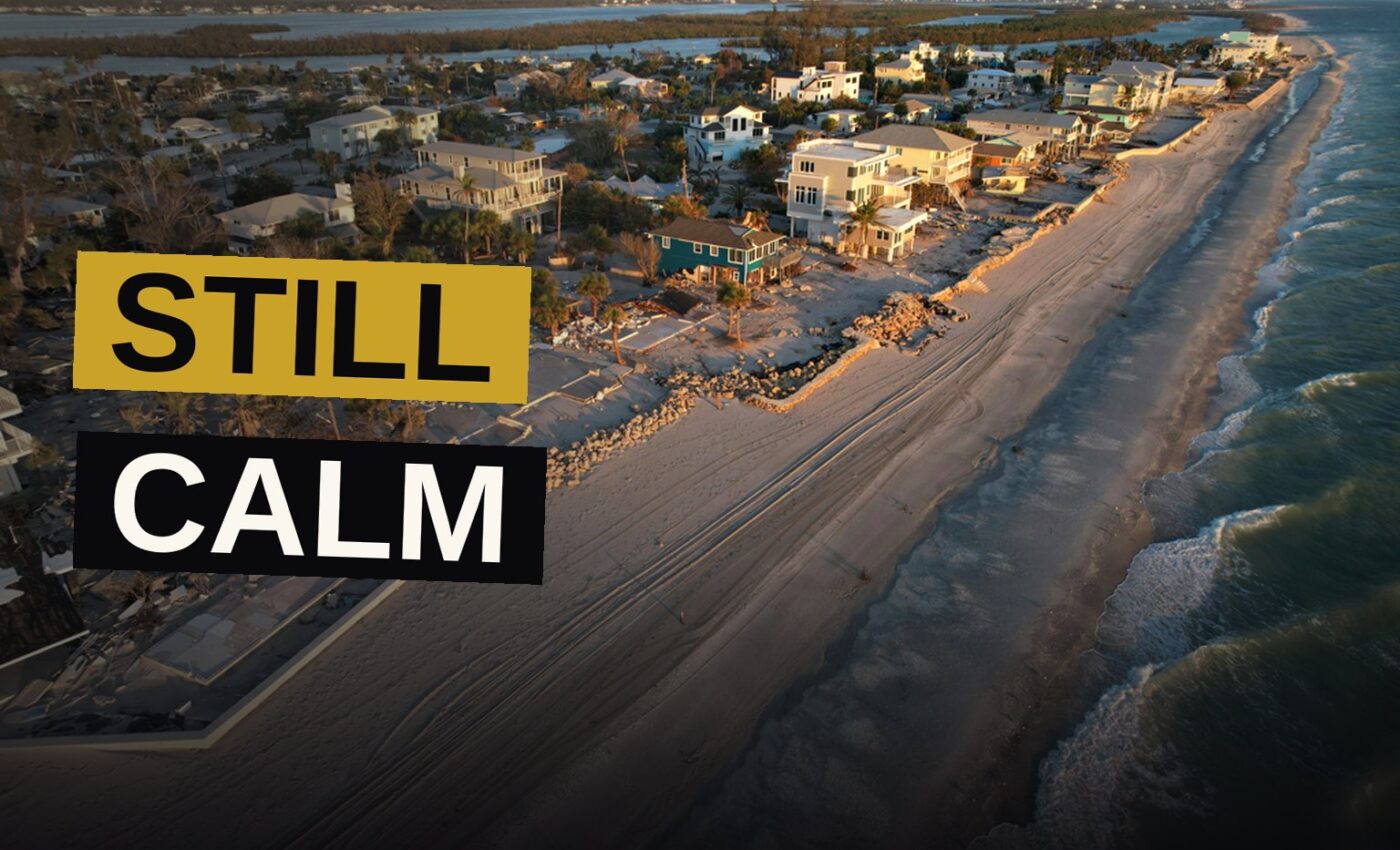
This year’s Atlantic hurricane season has been unusually calm. Not a single hurricane has formed yet, and none are expected to do so for at least another week, per the National Hurricane Center. There have been only five tropical storms, and they were all relatively weak and short-lived.
Saturday marked a new record: 2026 set the longest a season has begun without a storm reaching winds of 64 mph (103 kph) to qualify as a hurricane. Nick Novella, a meteorologist at the government’s Weather Prediction Center, said it was at least in the satellite era. Before the 1950s, there were a few years when no hurricanes were recorded this late in the season, but meteorologists don’t trust those records because ocean monitoring wasn’t complete.
The Triple Whammy
Phil Klotzbach, a hurricane expert at Colorado State University, reports that overall storm activity in the Atlantic is currently sitting at a record low when measured by the number of storms, their strength and how long they last — the lowest point since 1950. Activity stands at just 7% of normal for this time of year.
Several experts cautioned against letting down one’s guard, saying a single storm can turn catastrophic even during an El Niño. They cited 1992, which arrived late yet struck with devastating Hurricane Andrew.
“It’s really staggering, just how inhospitable the Atlantic is to anything that could form a tropical cyclone right now,” said Kristen Corbosiero, a University at Albany atmospheric science professor. “Anything that tries to form is just getting this triple whammy” of winds that decapitate a storm, dry air that starves it, and downward-pushing winds that basically stomp it.
Five experts told The Associated Press that El Niño’s might is driving those three forces, which are classic impacts of the natural and temporary warming of parts of the equatorial Pacific. That warming warps and warms weather worldwide.
“It’s just hammering the Atlantic. It’s just impressive,” Klotzbach said. “We haven’t even had anything really even close to a hurricane.”
Wind Shear Tears Apart the Storms
Corbosiero said the strongest El Niño influence on the Atlantic comes from record-strong wind shear. That phenomenon happens when powerful easterly winds strike a storm system near the surface, while equally strong westerly winds drive against it from above. Together, the two forces “tear apart” the storm, she explained.
Between Africa and the Caribbean, where the most powerful storms usually take shape and move toward the west, the wind shear sits at a rate that exceeds what a tropical cyclone can endure by about 45 mph (74 kph). She described it as an unheard-of degree.
“Their heads are cut off before they even have a chance,” said University of Miami hurricane expert Brian McNoldy.
Corbosiero and other experts have noted that wind shear has stayed low over the Gulf of Mexico, which means those storms tend to develop later in the season. That suggests there could still be some powerful ones headed toward that region.
The dry air starving the storm is joined by African dust choking it, while there are fewer “seeds” days of stormy weather that could develop. High pressure pushes air downward, which also hinders storms from forming.
The oceans have been at record heat for 100 days straight, a condition that usually fuels storm formation. Yet El Niño has proved strong enough to overcome it, according to Klotzbach.
What Next Year Brings
The problem lies with the Atlantic waters, which, though warm, have not heated up anywhere near as fast as the air above them. A Massachusetts Institute of Technology meteorology professor named Kerry Emanuel explained that what truly counts is not merely the water’s temperature but the gap in temperature between the air and the water. Since hurricanes draw their power from the movement of heat from the sea into the air, the wider that gap becomes, the weaker storm activity tends to grow.
The ocean lags the air by several months when it comes to sensing El Niño. As the climate pattern eases and temperatures return toward normal, though, the warmth already stored in the Atlantic is expected to last into the following season. That persistence raises the chances for an especially active year ahead, according to Emanuel.
El Niño typically curbs Atlantic hurricane season while boosting Pacific tropical cyclone action, thanks to moist air and scant wind shear. So far this year, eastern Pacific storms are running nearly double the normal pace, with hurricanes persisting much longer than usual. Central Pacific activity sits at roughly 40% above normal.
“It’s just a party out there, one right after the other in the eastern Pacific,” Klotzbach said.
The eastern Pacific has seen 16 named storms this season, while the central Pacific has recorded 20. The Atlantic, by contrast, has produced just five small tropical storms. Hawaii has been struck twice. Corbosiero explained that El Niño typically drives storms farther west than usual.
Long-range forecasters called for a quiet Atlantic hurricane season months before it began. Now it has become clear just how far below normal this season has fallen.
“I don’t think anyone really foresaw it being this quiet,” McNoldy said. “This is quite remarkable.”
The Numbers Behind the Quiet
| Ocean | Named Storms This Year | Activity Compared to Normal |
|---|---|---|
| Atlantic | 5 (tropical storms) | 7% of normal |
| Eastern Pacific | 16 | Nearly double normal |
| Central Pacific | 20 | About 40% more than normal |
The Atlantic’s record quiet is a product of forces acting together. Warm water feeds storms, but El Niño’s wind shear tears them apart, dry air starves them and sinking air kills them before they can form. The result is a season that has barely stirred.
The record low reading from Klotzbach tells the whole story: the total of storms, their power and how long they last, has reached its lowest point since 1950.